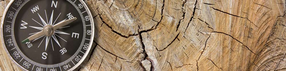
The traditional method of navigation is to use a map and compass. Some people think that owning a GPS (Global Positioning System) device removes the need for a compass, but this is incorrect. Both tools are useful in the bush. In addition to your GPS you should always carry a map and compass and know how to use them.
A road map (or car GPS) will show street names and get you to the start of a walk, but they lack vital features for bushwalkers, who use topographical maps. These maps show physical features such as rivers, hills, ridges, mountains and walking tracks.
Topographical maps can be purchased from bushwalking gear shops or ordered from specialised online map shops. New South Wales topographical maps are also available for download at NSW Government Spatial Services. A walker may also supplement a topographical map with a sketch map which shows items of particular interest to bushwalkers, such as walking tracks, negotiable routes, camp sites and other features that are useful to bushwalkers. Note that a negotiable route does not appear as a visible walking track on the ground and should only be attempted by experienced bushwalkers with superior navigational skills.
A car GPS unit is unsuitable for bushwalking, which requires an accurate location using map coordinates that can be identified on a topographic map. Some bushwalking GPS units have provision for uploading maps to them so that the local region can be shown on the screen. However a paper map is a useful supplement to the digital map, as it enables you to see the relationship between features more clearly, and you never need to worry that it will run out of power. A bushwalking gear shop can advise you on the features of GPS useful for bushwalkers.
There are numerous online resources that will assist you to learn map reading and compass work.
- Consult the Bushwalking Manual prepared by Bushwalking Victoria.
- National Geographic publishes an online 32 page colour brochure titled Basic Map & GPS Skills. Although written for an American audience, who hike trails in miles rather than bush tracks in kilometres, the National Geographic booklet is an authoritative, well illustrated summary of the basics of map reading with a compass. It also covers plotting a route using GPS.